
Evanston Neighbors by Block
No official list names every household on an Evanston block. Public sources instead describe parcels, owners, civic geography, permits, recorded instruments, and known voter registrations. Begin with CookViewer for spatial context, then open one Assessor card at a time. Association sites add locally defined boundaries and public contact routes, not member rolls. Historical directories and house files are useful only when the question concerns an earlier period.
| Block source | What it reveals nearby | How to reach it |
|---|---|---|
| CookViewer Nearby Search | Parcels and map labels within a chosen radius | Free viewer; select a source parcel and distance |
| Cook Assessor cards | PIN, parcel traits, class, value, exemptions, and sales | Address or PIN, one parcel at a time |
| Evanston map layers | Ward, zoning, historic district, city line, and other civic geography | Property Browser and REST metadata |
| Permits and dockets | Public work and property-standard activity by address | Accela, Property Dockets, counter, or FOIA |
| Voter verification | One known person's validated inputs | Name, birth date, ZIP, street number, and street selection |
| Community groups | Public boundaries, events, boards, and contact routes | Organization websites; no public member roll |
Ownership is not the same as residence. A mailing address may differ from the parcel location, and the Assessor warns that property location is not a legal or postal address. Likewise, a map hit within a selected radius is only a discovery lead until parcel lines are checked.
Map Evanston Neighbor Parcels
CookViewer is the main public block tool. Cook County GIS describes a system covering roughly 1.8 million parcels and 12,000 centerline miles. Nearby Search can find parcels within a selected distance, and the viewer supports print or PDF export. These numbers explain why a radius search needs tight scope and a clear date.
- Search the full address and select the source parcel. Record its PIN, street label, and visible parcel outline.
- Run Nearby Search with a stated radius. Treat the distance as a discovery setting, not proof that every result shares a boundary.
- Click each surrounding parcel and compare its PIN with the Cook County Assessor address search.
- Turn on relevant ZIP, ward, zoning, historic-district, and city-boundary layers. Save a dated map with its disclaimer.
- Use permits, recordings, or older directories only for a focused follow-up. For an entire named road, switch to the Evanston street directory.
A large institutional lot, condominium parcel, vacant site, or corner parcel can make a simple “next door” label misleading. Compare the visible boundary, parcel key, building class, and address before describing Evanston neighbors.
Note: Evanston cadastral layers are schematic public references, not legal plats or boundary surveys.
Layer an Evanston Block
The Evanston Property Browser service exposes parcels beside city boundary, ward, zoning, historic-district, and transit-oriented-development layers. Cook GIS adds ZIP and other county context. Keep the layer name beside every conclusion. A ward, ZIP code, historic district, and resident-association area describe different geography, so none should stand in for the others.
After the map is stable, the public Evanston permit search can add address, parcel, permit type, date, status, applicant, contractor, or business data where shown. Property Standards dockets are arranged by date rather than a verified public name or parcel index. If a record is not posted, contact the responsible department or use the City Clerk's FOIA route for non-exempt municipal material.
The record ladder is precise: address and ZIP, city boundary, parcel and PIN, assessment card, permit or docket, recorded instrument, then library or archive material. Each rung answers a different question. Do not ask one map to establish owner, occupant, history, and identity at once.
Recorded land documents can identify parties to a deed, mortgage, lien, easement, or plat. Search the Cook County Clerk's recording index by the parcel or a known party, then inspect the document date and legal description. The exact online cutoff is not stated in the official material. Older index books, tract books, plats, and microfilm may require the Clerk's research area, Cook County archives, or IRAD. That fallback matters on blocks whose parcels changed shape.
Permits add another dated layer. A permit can show work at an address and may name an applicant, contractor, or business where public, but it does not name every person present. Evanston Property Standards dockets can add hearing history. Search by address and date, then verify the public document through the city portal or department. Do not infer a household from a contractor or applicant field.
Evanston Neighbor Associations
Evanston has no verified citywide, block-by-block association roster. Three public groups provide distinct boundary descriptions and ways to contact a community. Their sites show missions, news, boards, events, or join routes. They do not prove that a person belongs to a group or lives inside its stated area.
| Community source | Public geography or purpose | Directory limit |
|---|---|---|
| Downtown Evanston Residents Association | Downtown resident issues, planning, services, safety, traffic, and green space | Public contact and member portal, not a resident roll |
| Central Street Neighbors Association | Published north, west, lakefront, and southern boundary description | Boundary and join path, not a member list |
| Southeast Evanston Association | Area bounded by Calvary Cemetery, Lake Michigan, Clark Street, and Chicago Avenue | Events, board, and membership route only |
| Evanston Neighborhood Network | Umbrella network formed from about 40 public, nonprofit, academic, and faith organizations | Community coalition, not a person finder |
Public event calendars and board contacts are the right ways to ask about a neighborhood. Ward representatives, 311, community policing, Evanston Public Library, and the Evanston History Center add civic or historical help without exposing private member data.
For older block context, the library's Evanstoniana Room provides paper and microfilm directories, newspapers, yearbooks, maps, and obituary sources. The History Center adds house files, telephone books, building records, photos, and oral histories. These collections can show who was associated with an address in a stated year. They cannot establish today's Evanston neighbors without current evidence.
Downtown Evanston Neighbors
The Downtown Evanston Residents Association presents a civic organization centered on downtown resident concerns. Its public mission can help route questions about planning, services, public safety, traffic, or green space. It should not be treated as a directory of downtown households.
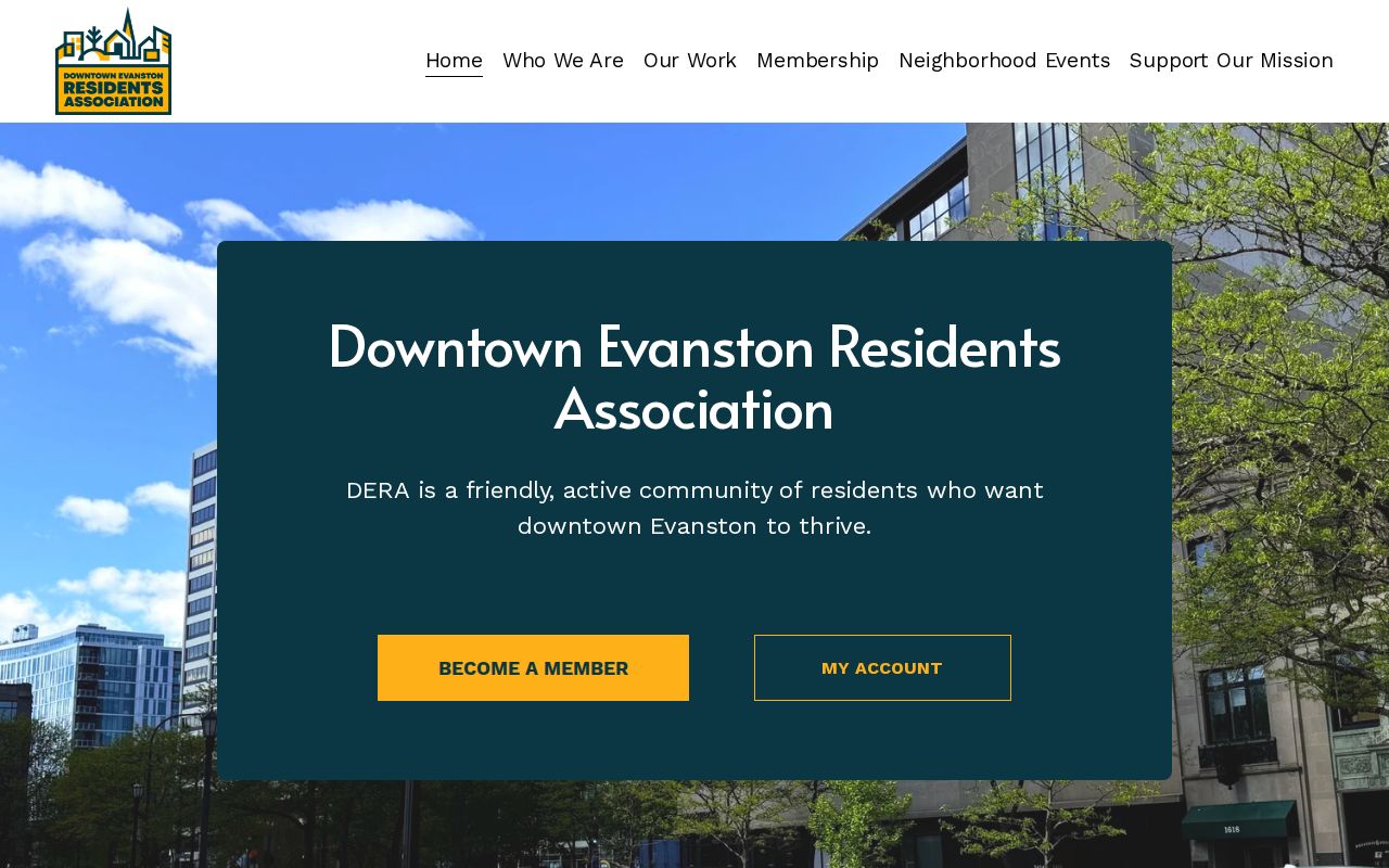
The public association page is a contact layer for the area, while county parcel records remain the source for parcel facts.
Central Street Evanston Neighbors
The Central Street Neighbors Association boundary page describes its neighborhood using Evanston's limits, lakefront, and named roads. That first-party boundary is more useful than assuming a ZIP or ward defines the same community.
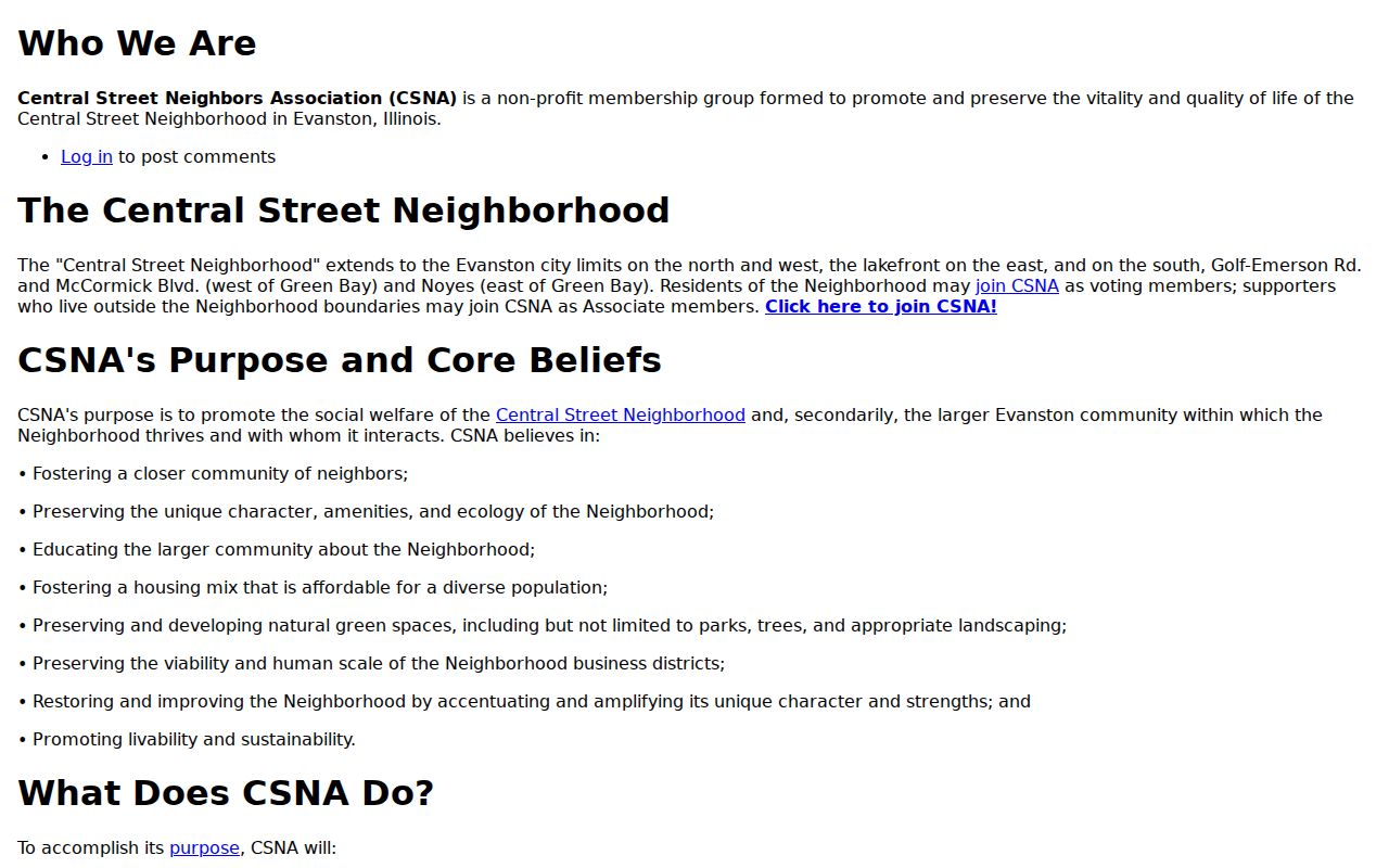
Use the association boundary as community context, then verify any parcel against the dated city and county map layers.
Southeast Evanston Neighbors
The Southeast Evanston Association membership page defines an area through Calvary Cemetery, Lake Michigan, Clark Street, and Chicago Avenue. It offers a membership and board route but no verified open household directory.
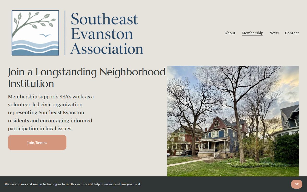
The published edges help label a community area without making claims about the people inside each home.
Note: Association geography is self-defined and may not match wards, ZIP polygons, precincts, or historic districts.
Compare Evanston Neighbor Sources
Official rolls and commercial neighbor tools serve different purposes. County and city systems identify the custodian, update context, parcel key, and source limits. Commercial compilations may merge stale addresses or people with similar names and may hide provenance. Neither category should be used to guess at private household members.
| Official parcel and civic sources | Commercial compilations |
|---|---|
| Named government or organization keeper | Source may be unclear or combined |
| Parcel, case, permit, or boundary context | Person-first profiles may blur dates |
| Published request and correction route | Correction and removal terms vary |
| Still requires occupancy verification | Cannot establish current occupancy |
For Evanston neighbors, the strongest result keeps the map date, PIN, office, and record date together. Confirm errors with the official custodian and contact an association through its public channel rather than copying or inferring private member details.
The Illinois voter lookup is also narrow by design. It requires first and last name, birth date, five-digit ZIP code, street number, and a street selected from a dynamic list. It verifies a known combination and does not return all voters on a block. Regulated voter-file requests have separate permitted-use and redaction rules, so they are not a shortcut to a household directory.
Protect Evanston Neighbors' Privacy
Public block records do not reliably reveal renters, household members, guests, utility accounts, delivery addresses, DMV addresses, or protected participants. Illinois FOIA exempts private information and calls for redaction. Voter law removes sensitive fields and does not provide a public streetwide roll. Vital records remain restricted. The Address Confidentiality Program supplies substitute addresses for eligible people in new covered government records, though property-record confidentiality cannot currently be guaranteed.
Access options still extend beyond the web: Assessor address or PIN search, Cook Clerk recording index and in-person research, City permit records and FOIA, library and History Center directories, association public contacts, ward and 311 channels, and IRAD historical series. Use the channel suited to the record, and stop when privacy law or an office's access rule closes it.
Lawful use. Research Evanston neighbors only for lawful civic, historical, or personal purposes. Never use records to watch, stalk, harass, threaten, or intimidate anyone.