
Walk an Evanston Street
A useful street directory begins with one well-formed Evanston address, then expands one parcel at a time. Ownership and occupancy are different facts. The Cook County Assessor identifies a property location, PIN, class, traits, values, exemptions, and neighborhood sales. CookViewer shows where that parcel sits. The Clerk's recordings index identifies parties to deeds and other filed documents. A voter lookup can test a known person's address, but it cannot produce a streetwide roll.
Keep a dated worksheet for each lot. That habit prevents a mortgage, lien, mailing address, or old directory line from being mistaken for proof that someone lived there.
- Normalize the house number, direction, unit, street name, and city label.
- Use the Cook County Assessor address search to obtain the PIN and property card.
- Open CookViewer, select the parcel, and inspect nearby lots and boundary layers.
- Search the Clerk recordings index by party and verify the legal description.
- Test a known voter, then use dated directories for the historical occupant layer.
Parse Evanston Street Addresses
The Assessor form is more exact than a broad web search. Enter the number separately and type the bare street name without Ave, St, Pl, or another designation. Direction and unit have their own controls. City is separate, and CAPTCHA is required. If an address fails, test its suffix, direction, unit, and municipal label rather than assuming no parcel exists.
| Mode | Field | Format | Use |
|---|---|---|---|
| PIN | PIN Number | 14 digits plus CAPTCHA | Stable parcel lookup |
| Address | House Number | Number or range | Required address part |
| Address | Direction and Unit | Separate controls | Resolve corner and multi-unit sites |
| Address | Street Name | Omit designation | Required name field |
| Address | City | Municipal label | Check boundary ambiguity |
| Neighborhood | Township, area, class | Dropdown filters | Broader comparison |
The public sample shows why the card starts a search but does not replace a deed. View the Cook County Assessor sample parcel card used to document its fields.
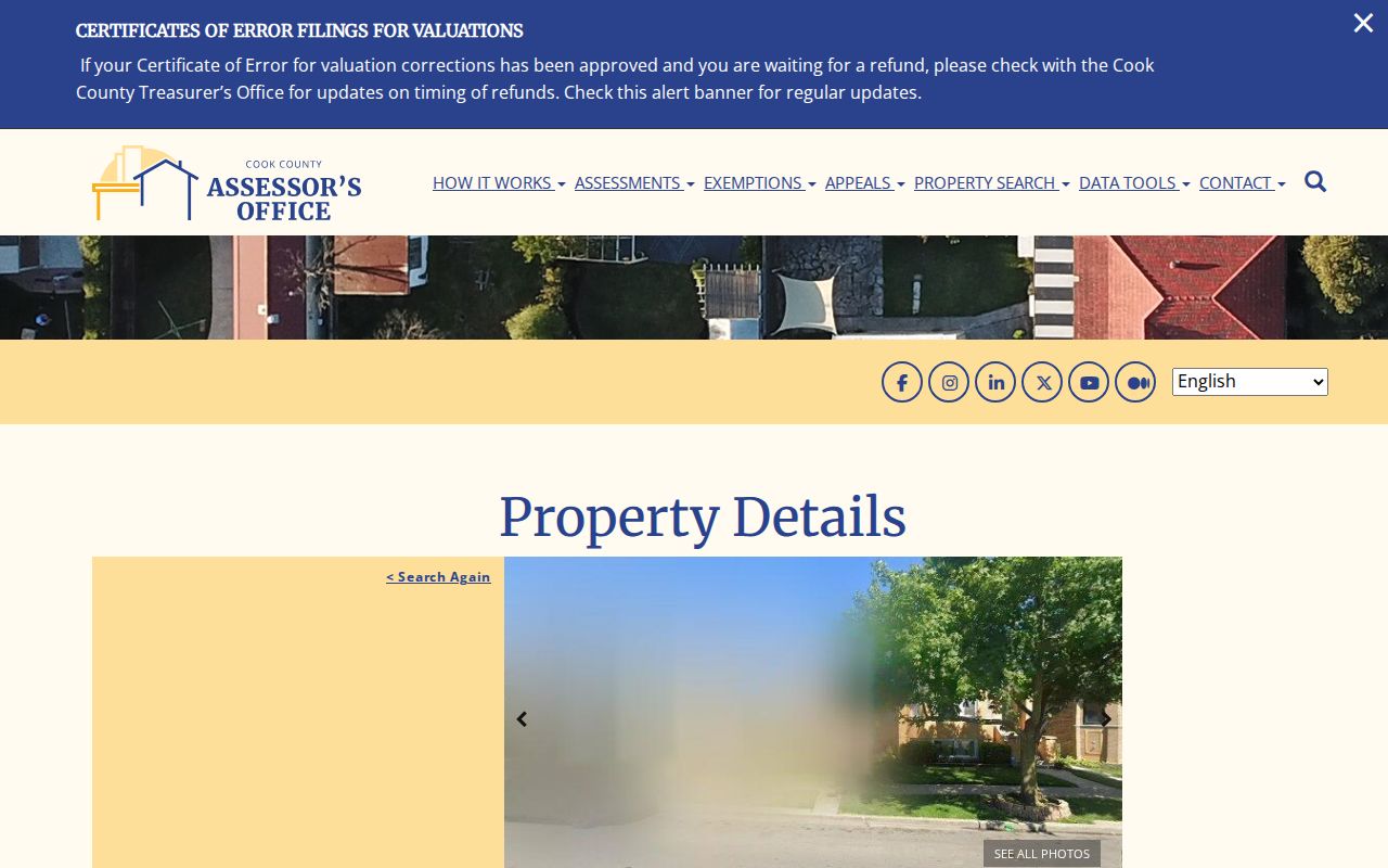
The capture separates assessed values, building traits, exemption history, and neighborhood sales from title documents. It warns that property location is not a legal or postal mailing address.
Evanston Records Found by Address
Each address system answers a different part of the street directory question. Search results also have distinct access limits. Portal failure is not the end: Cook County offers counter and phone help, the Clerk has a public research area, Evanston accepts records requests, and libraries or archives hold older material.
| Source | Key | What it shows | Access |
|---|---|---|---|
| Assessor card | Address or PIN | Location, class, traits, values, exemptions | Web; 118 N. Clark; 312-443-7550 |
| CookViewer | Address, PIN, map point | Parcel shape, nearby parcels, layers | Free viewer, PDF export, GIS help |
| Clerk recordings | Party, date, document, legal text | Deeds, liens, mortgages, plats | Index; research area, phone, paid copies |
| Evanston permits | Address, parcel, permit | Applications and work dates | Citizen Portal, desk, records request |
| Property dockets | Hearing date, address | Standards hearing documents | City page, full-file request |
| Old directories | Name or address | Dated resident and phone entries | EPL/EHC, microfilm, staff help |
For old county records, search the State Archives holdings database, note the series and accession, and contact IRAD. FOIA reaches non-exempt administrative records, but it does not create an index or open a closed record.
PIN Anchors Evanston Street Records
A 14-digit Property Index Number is the best bridge when street spelling or city labels drift. A parcel is the mapped land unit tied to that PIN. The situs address is the physical location shown by an assessment system, while the owner may get mail elsewhere. A plat is a recorded map of lots or a subdivision. A criss-cross directory reverses normal name order and, where held, starts with an address.
- Parcel
- A mapped land unit used for assessment and county indexing.
- Situs address
- The displayed physical location, not always a legal or mailing address.
- Plat
- A recorded lot or subdivision map, distinct from a web map.
- Criss-cross directory
- A directory arranged by street or phone instead of surname.
Write down the PIN, unit, lot, block, subdivision, and legal description found in a valid record. Those details make a by-address chain much less fragile.
Map Evanston Streets in CookViewer
CookViewer supports All, Parcel PIN, Parcel Address Locator, and Address Locator modes. After selecting a parcel, Nearby Search can return properties within a chosen distance. Property Comparison compares selected lots, while Print saves a dated PDF. Cook GIS describes roughly 1.8 million parcels and 12,000 centerline miles, which explains why a PIN beats a loose street phrase.
Use the Evanston Property Browser map service to inspect local layers beside the county view.
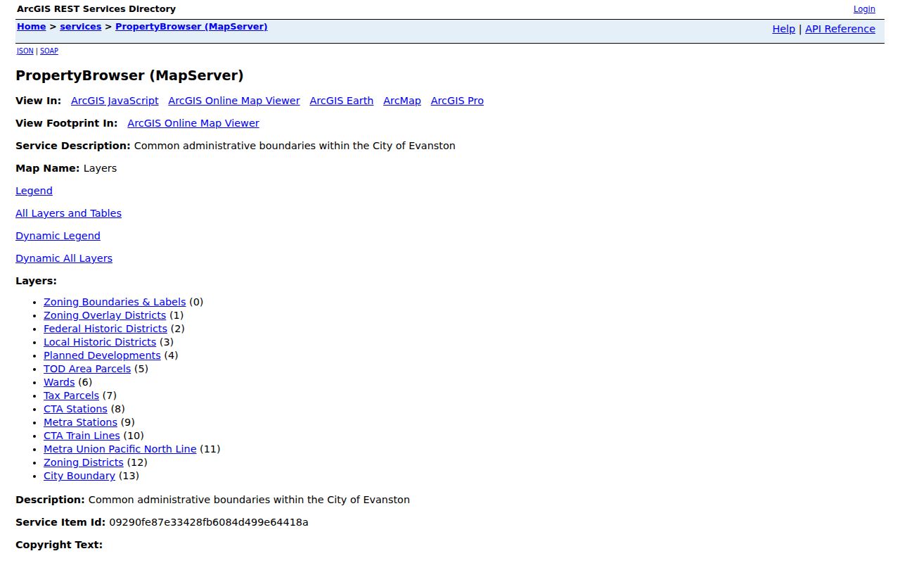
The service adds city boundary, wards, tax parcels, zoning, historic districts, planned developments, and transit. These maps are schematic, not legal surveys. A boundary dispute needs a recorded plat or survey.
Trace Parties Along Evanston Streets
The separate Recorder of Deeds office ended on December 7, 2020. Current land work belongs to the Cook County Clerk's Recordings Division, even when an old instruction says Recorder. Search each parcel rather than one street name. The interface searches grantor, grantee, document type, recorded date, number, legal description, and book, volume, or page. Grantor means the party transferring an interest; grantee means the party receiving it.
A deed, mortgage, release, lien, easement, or transfer-on-death instrument has a different purpose. Confirm type, date, and legal description before connecting a party to a parcel. The exact online cutoff is not stated, and all images are not promised online. Use the Cook County Clerk Recordings Search, then contact the research area or archives for unresolved years. Copies may cost money.
Custodian change. Older Evanston deed instructions may say Recorder, but the Cook County Clerk has held those duties since the 2020 merger.
Evanston Permits Follow the Address
Building work gives a street chronology that ownership records cannot supply. Evanston's permit search accepts a number range, street name, permit number or type, date range, contractor fields, and parcel number. A permit can identify a project date. It is not an occupant list, and a named contractor is not proof of residence.
Open the Evanston permit address search to see the public interface.
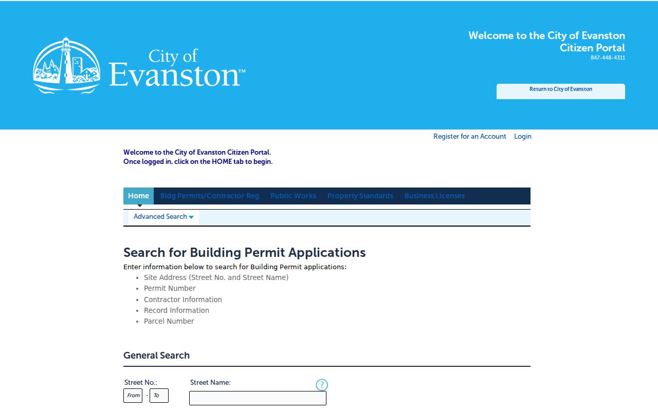
The form shows why parcel and date filters belong beside the street name. If a public file is absent, ask the Permit Desk or use Evanston's FOIA portal.
Evanston Street Dockets Add Dates
Property Standards dockets add another address source. They are arranged by hearing date and may link a document that names a property or case. That can fix a code matter to a point in time, but the docket is not a current resident list or the whole file.
Review the Evanston Property Dockets before requesting more.
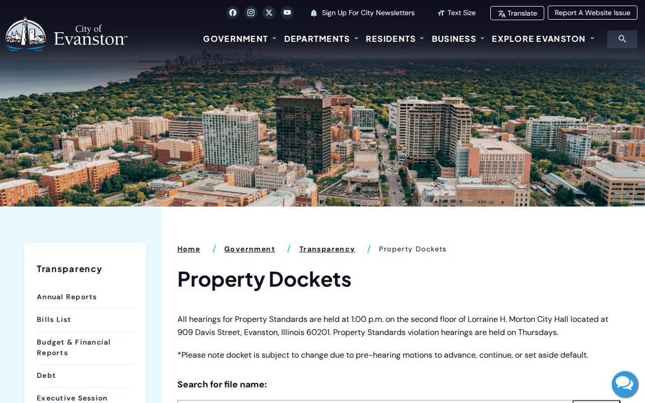
The date-based page is best used as an index. Save the hearing date and title so city staff can identify the file.
Older Evanston Street Labels Shift
Evanston annexed areas in 1873, 1874, 1886, and 1892. An old directory may apply a label that differs from today's parcel search. No official citywide renumbering table was found. Test variants in directories, maps, the City street index, EHC house files, CookViewer, and the Assessor, then secure the match with a PIN or legal description.
Historical address work belongs with the Evanston city directory collections when the task shifts from today's street to a dated household. The 1899 volume lists addresses within surname entries, but an exact Evanston reverse-directory run was not verified. Ask the Evanstoniana Room or EHC about the needed year.
Evanston Voters Are Not Street Lists
The Illinois registration lookup checks one known voter. It asks for name, birth date, ZIP, then street number and street-name selection. That can confirm a known set of facts, not browse all voters on an Evanston block. The regulated statewide file has permitted-use rules and redactions. It is not an open household download.
No parcel should be called occupied because an owner appears on a deed, or empty because a voter search fails. Owners may get mail elsewhere. A unit may hold people absent from public address tools. Keep every finding tied to its record and date.
The offline and regulated channels have narrow roles. Suburban Cook election staff can answer registration and election questions, while the Illinois State Board of Elections controls the statewide computerized voter-data request route. Illinois law redacts sensitive fields and limits disclosure and use. A public-records request cannot turn the one-person form into an unrestricted by-street report. Historical poll books or voter registers are a different archival source: locate a stated series through the Illinois State Archives or IRAD, record its year and geographic scope, and ask the depository about access. An old poll book should never be presented as proof of a current Evanston household.
Limits of Evanston Street Directory
A public street directory cannot expose a full household. Property and map systems omit family members, guests, utility customers, delivery recipients, and people protected by confidentiality programs. Driver address data is not a public street field. Illinois's Address Confidentiality Program provides substitute addresses for new government records, though property-record privacy cannot currently be guaranteed.
Use address records for property research, genealogy, civic questions, and scam checks. Verify a payment through an official city or county domain. Evanston warned in 2025 that impersonation messages used public permit details, so familiar facts do not prove a message is real.
Lawful use. Evanston address records may support personal research, but they must never be used to stalk, harass, threaten, or harm anyone.